
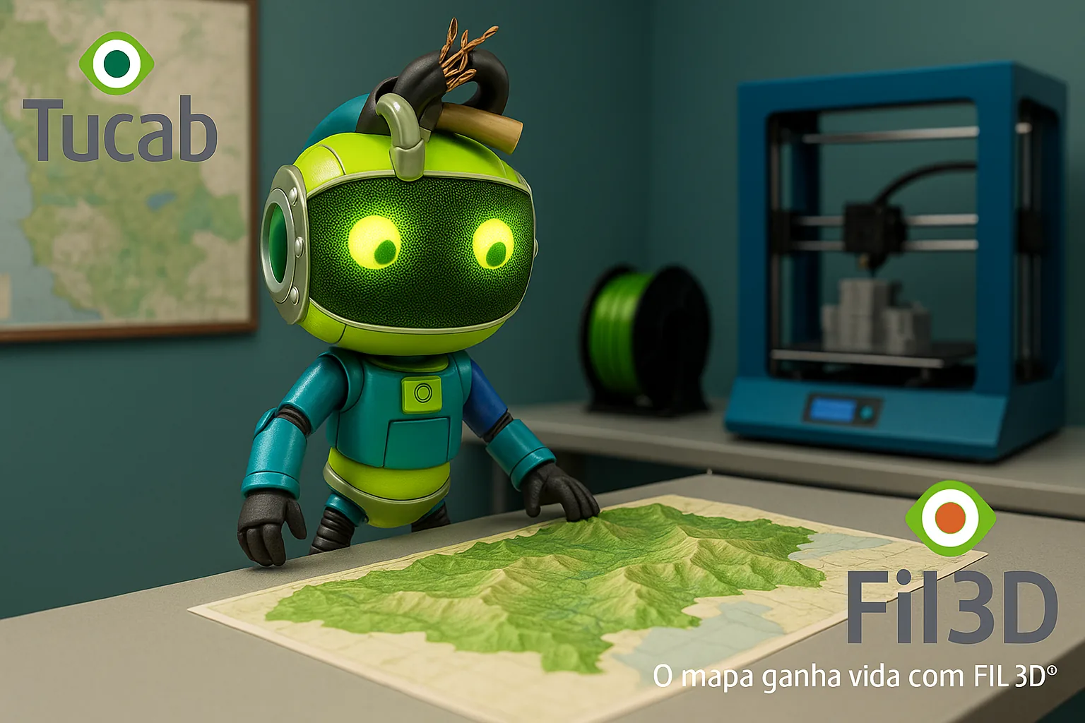
The Cartographer of the Future: 3D Printing with FIL3D® at the Service of Geography and Topography
Reading the Earth's relief has always fascinated humanity. From paper and ink to digital satellite images, cartography has evolved — and now, with 3D printing, it takes on a physical and tangible form.
With FIL3D® filaments, cartographers and georeferencing technicians can today print three-dimensional models of terrain, maps and cities, transforming data into tangible, visually detailed objects.Technological Context
Thanks to the precision of 3D printers and the dimensional stability of PLA and PLA FIL3D® filaments, it is possible to convert topographic data (GIS, CAD or LiDAR) into high-resolution physical models.
These three-dimensional models allow you to analyze slopes, plan infrastructures, study river basinsand even simulate environmental impact scenarios with a clarity that 2D screens cannot offer.Real Applications
Cartographers, urban planners and civil engineers already use 3D printing to:
-
Create physical models of land and cities, with realistic scale and relief;
-
Produce watershed models for environmental studies;
-
Reproduce archaeological zones and excavation areas with high fidelity;
-
Present urban projects in tangible models for meetings and exhibitions;
-
Train students and technicians with three-dimensional teaching materials.
Highlight FIL3D®
FIL3D® offers the precision needed to transform data into real geometries:
-
PLA – excellent for smooth surfaces and topographical details;
-
PLA – allows for uniform surfaces and high definition finishing;
-
PETG – ideal for higher-strength parts such as supports and modular map inserts.
Each filament is extruded with maximum control, ensuring consistency between layers and models true to the original data.
Vision of the Future
3D printing with FIL3D® is redefining form how the territory is studied and represented.
The cartographer of the future doesn't just work with lines and pixels — he works with printed layers of relief, which are touched, analyzed and understood.
The precision of modern geography meets the engineering of TUCAB® materials.
With FIL3D®, the map gains volume, texture and life — because knowledge is also printed.
“Maps are no longer drawn — they are printed.”